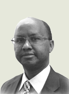
Speaker

Abstract
RCMRD’s programmes in disaster risk reduction: Achievements and opportunities for future collaboration
The Regional Centre for Mapping of Resources for Development (RCMRD) is an inter-governmental organization and has 20 Member States in the Eastern and Southern Africa Regions. RCMRD’s mission is to promote sustainable development through generation, application and dissemination of Geo-Information and allied ICT services and products in the Member States and beyond. RCMRD has been at the forefront of promoting the use of geospatial technologies to improve environmental management and resilience to climate change by strengthening the capacity of governments and other stakeholders to integrate geospatial technologies into decision making for sustainable development.
In fulfilling its mandate RCMRD has over the years, successfully organized training courses, implemented projects and carried out research and development to promote the use of geo-information in various sectors of national development. In particular, RCMRD has been promoting the use of geospatial technologies for Disaster Risk Reduction (DRR), hazard and vulnerability mapping in Africa. RCMRD in collaboration with a number of partners has developed a comprehensive DRR framework based on geospatial technologies which stipulates the principles and rationale of RCMRD’s engagement in the region including the procedures for identifying projects to implement in the member states. The presentation will give an overview of RCMRD’s disaster management projects and activities and give an in-depth overview of activities by implemented by RCMRD in the region; Hazard and vulnerability assessment and mapping, research on flood forecasting, technical advisory missions and training courses.